

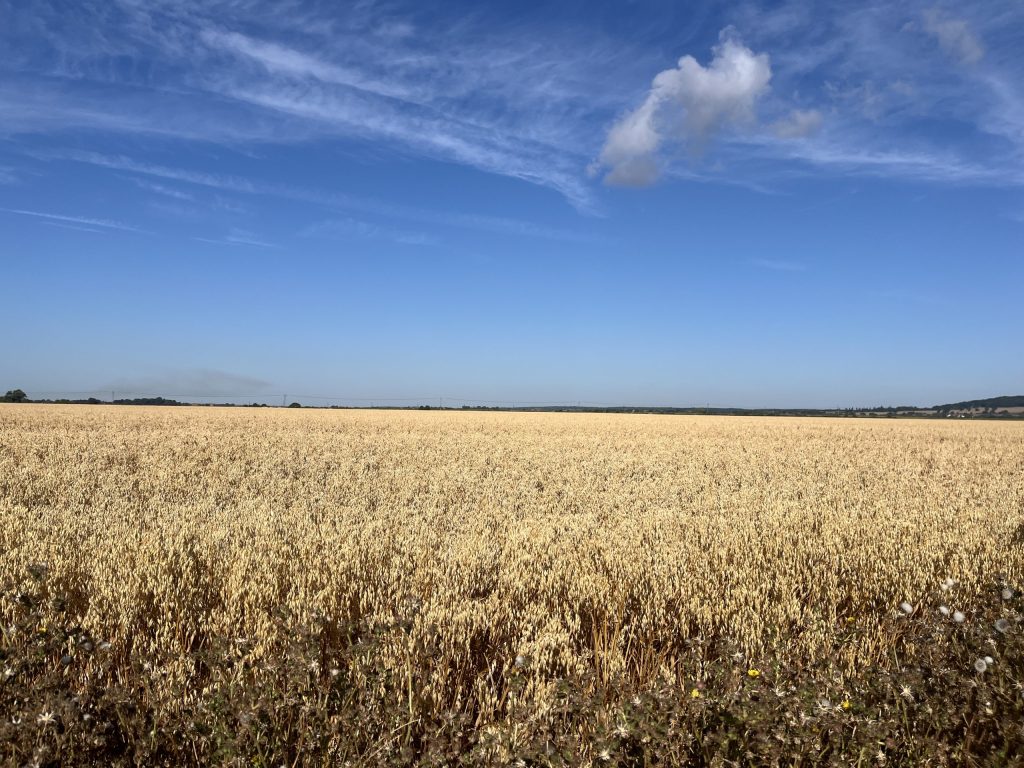
From hidden woodland trails to open countryside and sweeping coastline, the Cantii Way bikepacking route is a 236km circular ride through Kent, linking quiet lanes, gravel tracks, traffic-free paths and historic towns. Developed by Cycling UK, it offers a varied but accessible multi-day ride through some of the county’s best-known landscapes as well as quieter corners that are easily overlooked.
Route Overview
Beginning in Wye, the Cantii Way winds through some of Kent’s best-known landscapes, linking Canterbury, the north Kent coast, Deal, Dover, Folkestone, Romney Marsh and Rye before returning inland through quiet villages, farmland and woodland.
The riding changes constantly, moving between country lanes, traffic-free paths, gravel tracks and coastal sections. Designed primarily for gravel, touring and mountain bikes, it is varied without becoming overly technical, making it accessible to newer bikepackers while still offering enough interest for experienced riders.


Preview the guide
A look inside the full downloadable guide.

Download the Cantii Way Full Guide Free
The complete Cantii Way Full Guide brings together the detailed route information needed to plan and ride the route, including maps, navigation, stage-by-stage guidance, food and water, camping, accommodation, rider support and practical notes gathered from the route itself.
It’s designed to give you the detail needed before setting off while still leaving room to make the journey your own once you’re on the road.
87 pages · Full route guide · Free download

Download the Cantii Way GPX Files
Download the latest GPX files for the Cantii Way, including the complete route and individual stages. Save them to your preferred navigation app or device before setting off.